


GeoRED Interactive Tools
Access the GeoRED Interactive Tools here

GeoRED has data covering different areas of interest for users across the Coastal Bend. The data has been separated by type into four main data viewing tools
- Hazard Impact and Planning Tool
- Social Vulnerability Tool
- Economic Development Tool
- Environmental Resilience Tool
- Nueces Community Health and Environment Tool
If you have a flooding event to report, you also can use the GeoRED Flood Event Reporting Tool

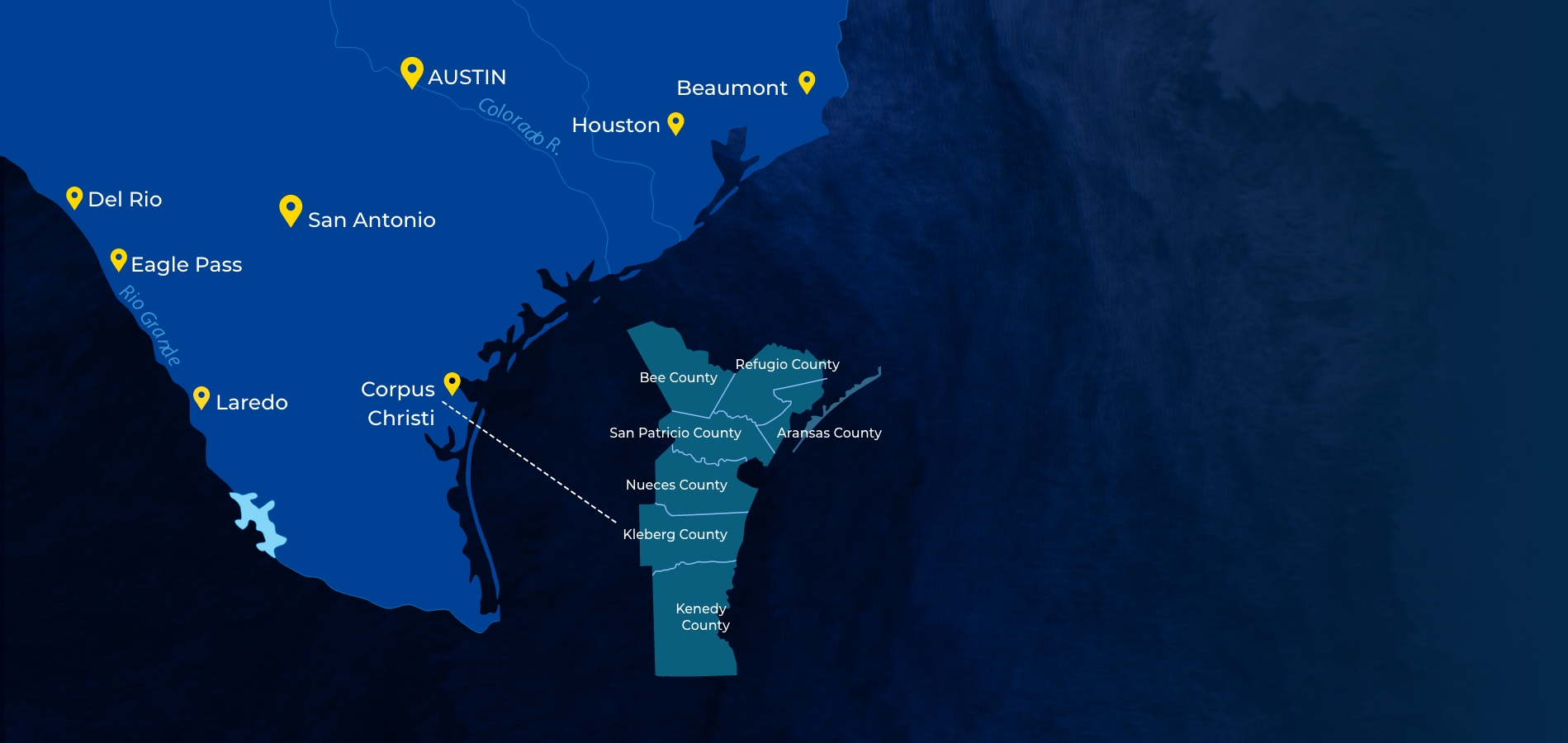
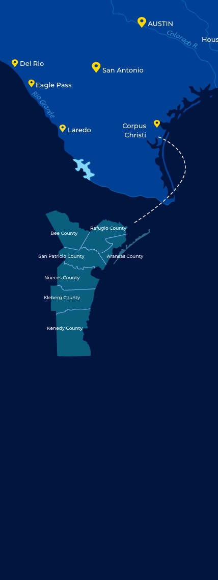
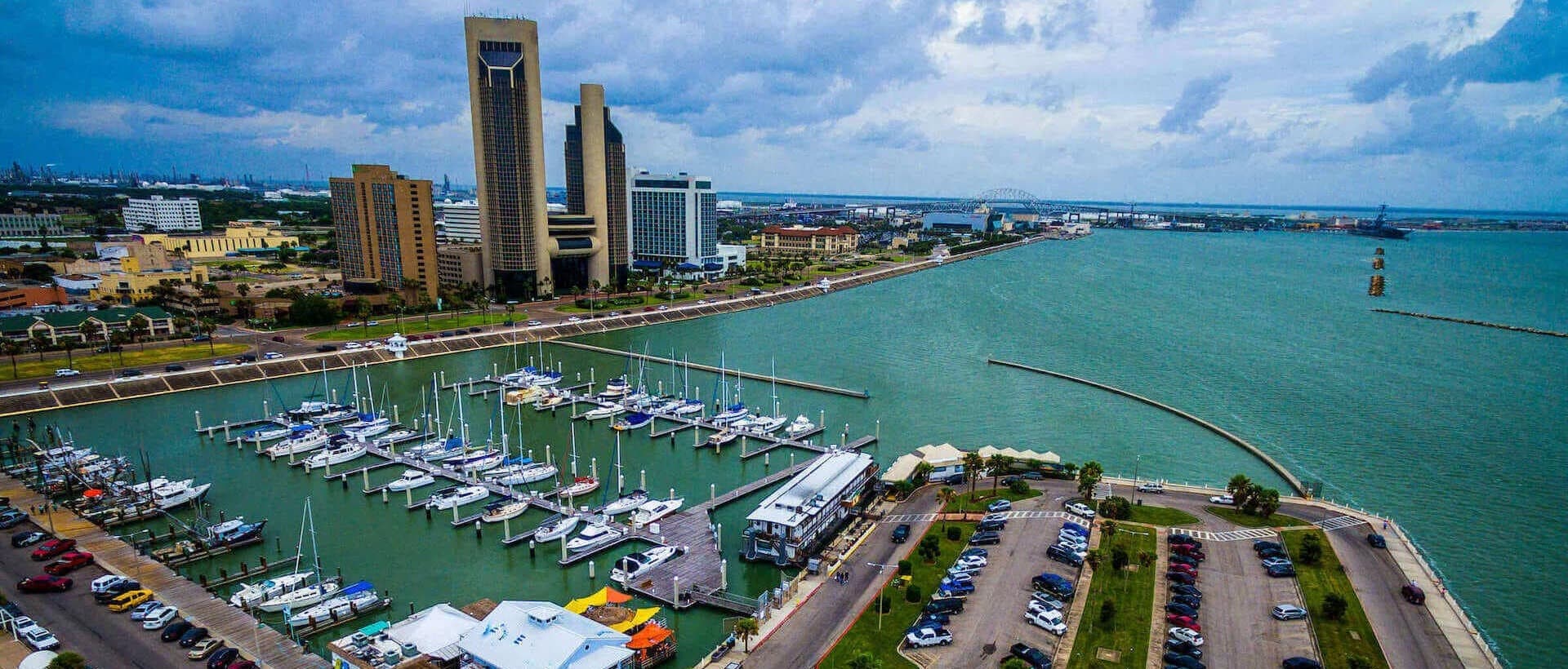
Texas Coastal Bend
GeoRED tools and data cover the Coastal Bend region of South Texas. We are currently partnering with the counties of Aransas, Bee, Nueces, Kenedy, Kleberg, Refugio, and San Patricio, and are working to expand GeoRED to additional areas. Click the button below to learn more.
Story Map
Explore the GeoRED Stories
Read More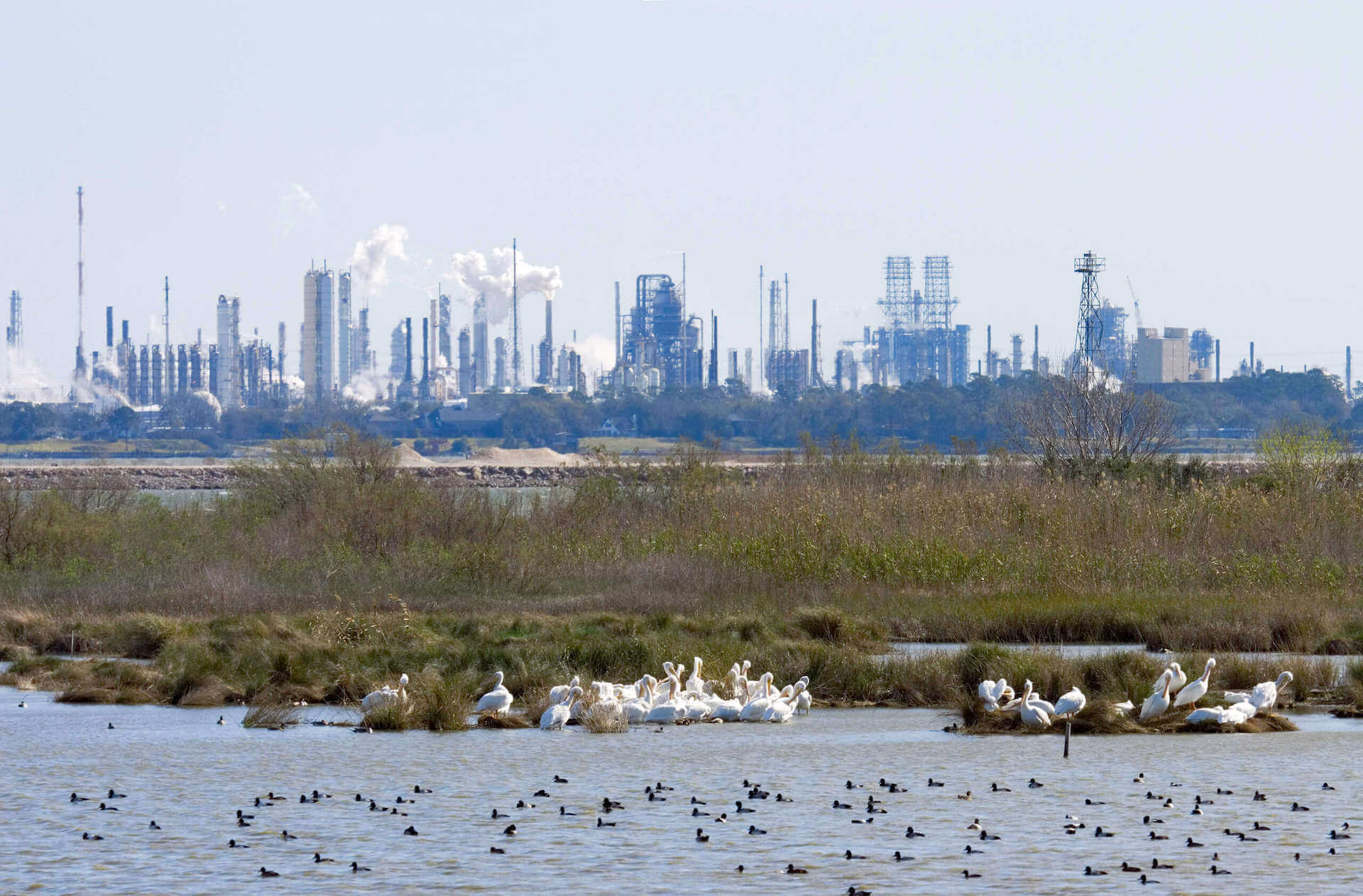
June 10 2026
Carbon Capture and Storage Facts and Data Sources
Page dedicated to providing information resources to the Coastal Bend Community.
September 29 2025
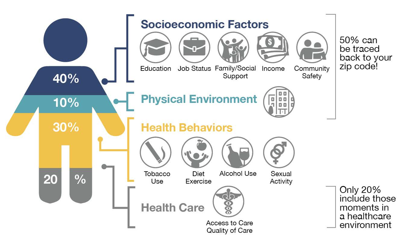
Linking Community Health, Social Factors and the Environment
Addressing Social Determinants of Health and Environmental Data Integration Barriers: Nueces Community Health & Environment Tool

August 29 2024
A Community Resilience Self-Assessment for Corpus Christi
GeoRED helps inform local resilience assessment
April 21 2023
Environmental Justice in Corpus Christi
Resilience and social vulnerability are intensely local. Use GeoRED to create a more equitable future.

April 21 2023
Pre-K for CC
Education and workforce development is an economic priority for the Coastal Bend.